Magnitude 7.7 earthquake off Flores Island kills at least 47 and triggers tsunami warning across eastern Indonesia
The shallow quake struck before dawn on Saturday, collapsing buildings, triggering landslides, and sending thousands fleeing to higher ground before the tsunami warning was lifted.
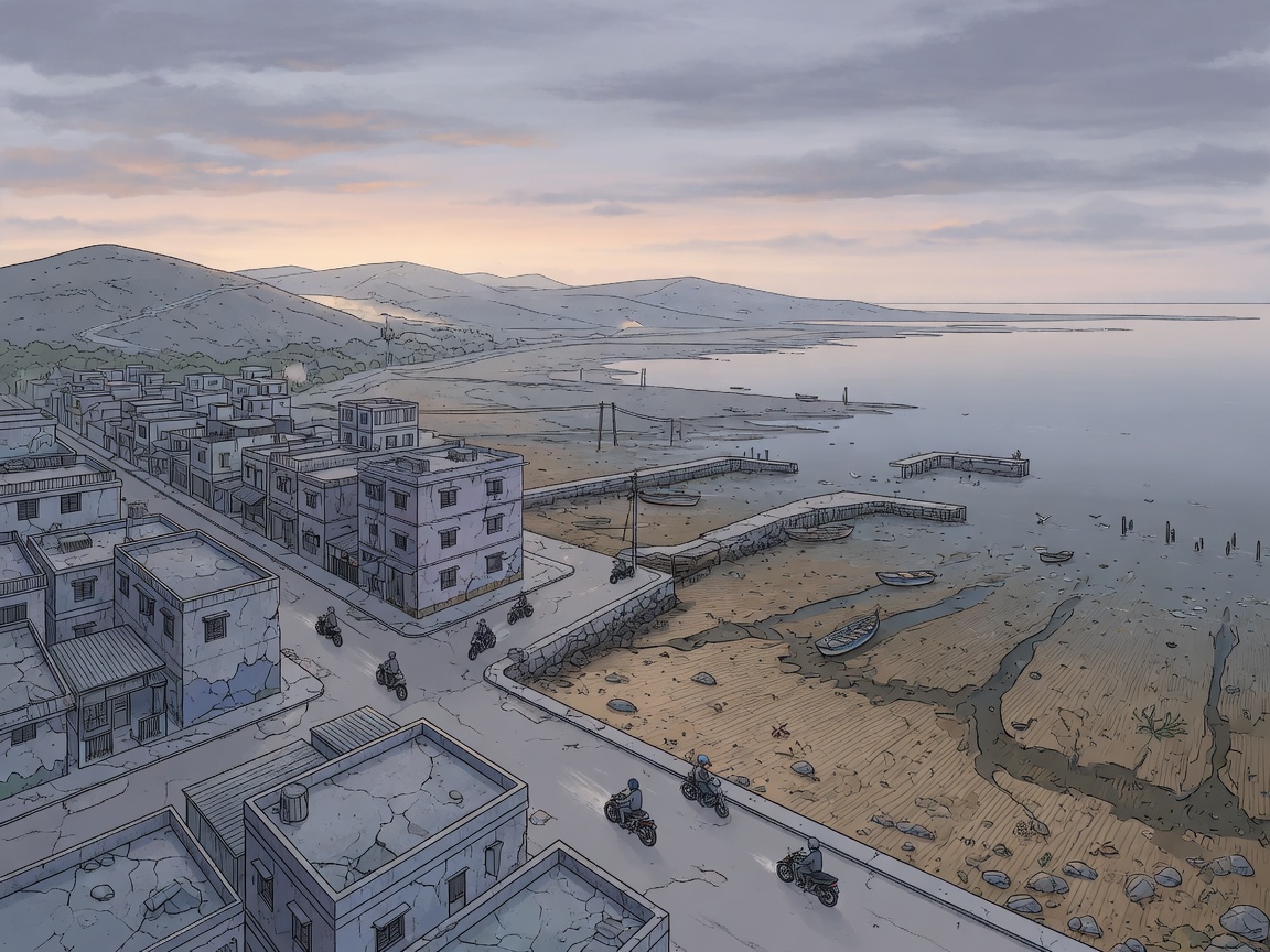
A magnitude 7.7 earthquake struck off Indonesia’s Flores Island early on Saturday, killing at least 47 people and prompting a tsunami warning that sent thousands racing inland before it was lifted roughly three hours later.
The quake hit shortly before 05:00 local time at a depth of 15km, according to Indonesia’s meteorology and geophysics agency, BMKG. Its epicentre lay off the north coast of Flores, about 42 miles north-west of the coastal town of Ende, US and Indonesian authorities said. The shallower an earthquake is, the more destructive its effects on the surface tend to be.
Indonesia’s National Disaster Management Agency, BNPB, said the death toll was still rising as search and rescue operations got under way. At least 24 fatalities were recorded in Manggarai province, 17 in East Manggarai, three in Sikka, and at least one in each of the Ngada, Ende, and West Manggarai provinces. At least two people were seriously injured and 11 slightly injured.
Devastation at the port and beyond
In Maumere, the main town in Sikka regency on Flores Island, rescuers found 20 people dead, six severely injured, and two trapped under rubble, according to Fathur Rahman, the head of the city’s rescue agency. Eight of those dead had been killed in a landslide. Video from the port in Maumere showed large chunks of concrete breaking off the terminal building onto passengers waiting to board an inter-island ferry, and some were thrown into the sea when the gangway to a ship collapsed.
Emanuel Melkiades Laka Lena, governor of East Nusa Tenggara province, told a news conference that victims were killed in their sleep by collapsing rubble. Yohanna Embu, a resident of Sikka, said a number of buildings had been damaged by the strong shaking and that panicked people ran to higher ground.
Thousands flee to higher ground
Authorities issued a tsunami warning. Tsunami waves of 1.5 metres were recorded in several areas, including a 1.61-metre wave that hit Ngada village in east Manggarai, according to the Guardian. The warning was lifted around three hours later when monitoring showed no significant sea level changes. BNPB said 2,000 people had evacuated or relocated on their own.
Arnold Welianto, who lives in Talibura, a village near the coastline in Sikka, said he was awoken by “very strong shaking” and immediately went to his child’s room. He told the BBC that many people had already fled into the hills and that some residents stood along the roadside because the sea had receded. “The water remained low for quite some time, so everyone panicked and ran,” he said.
Lukas Lotar, a hospital customer service official in Nagekeo regency, said patients fled the hospital when the jolt hit and that he saw cracked walls. Yohanes Babo, a 56-year-old Nagekeo resident, said he was at a market when the quake struck and that people were panicking and running to the hills. His family was safe.
Yulian Juita Ekalia, a university lecturer from Ruteng, a city west of the epicentre, told AFP: “I have never felt an earthquake this big.” “It felt like we were on a trampoline, it was really scary.” She said she had dragged her stove outside and was cooking there for fear of further tremors.
The region is remote and mountainous. Reaching the hardest-hit areas has proved difficult. Teams had yet to reach Nagekeo, the area closest to the epicentre, because road access was blocked by landslides and communications signals were affected, Fathur said. A team was attempting to reach the area by ferry. Police chief Rudi Darmoko of East Nusa Tenggara said power cuts had made communication difficult between cities and villages, and that landslides in Ende regency had cut off the Trans-Flores highway, a 435-mile mountain road.
At least 235 aftershocks followed. One had a magnitude of 6.1. A separate magnitude 6.4 earthquake was later felt in North Sumatra, in western Indonesia, at a depth of 163km, with no casualties reported. Preliminary reports indicated more than 150 houses had been severely damaged, along with dozens of educational institutions, healthcare facilities, places of worship, offices, and other public facilities. BNPB said aid was being sent to the affected areas and advised people to remain calm, stay away from coastal areas, and avoid structures showing signs of damage.
Indonesia lies along the meeting point of three major tectonic plates, making it prone to earthquakes and volcanic activity. In 2004, a 9.1-magnitude earthquake struck off the coast of western Indonesia, causing a tsunami that killed 220,000 people in the Asia Pacific area, the Guardian reported.
Sources & methods
- BBC News report on the magnitude 7.7 earthquake in Indonesia, citing BNPB death toll figures, eyewitness accounts, and details of damage and evacuations Archived Aug 15, 2026
- The Guardian report on the earthquake, citing BMKG data, rescue agency figures from Maumere, tsunami wave recordings, and additional eyewitness accounts from Nagekeo and Sikka Archived Aug 15, 2026
This article was compiled from two published reports, one from BBC News and one from the Guardian, cross-referenced for death toll figures, seismic data, and eyewitness testimony. No independent reporting was conducted.